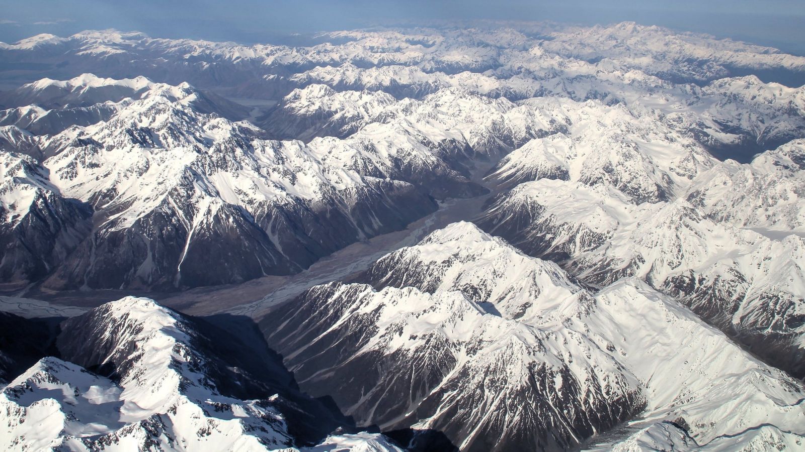
Led by Professor John Townend of Te Herenga Waka—Victoria University of Wellington and Dr Caroline Holden of SeismoCity Ltd, the Southern Alps Long Skinny Array (SALSA) project features more than 50 highly sensitive seismometers strung along the fault about every 10km between Springs Junction and Milford Sound/Piopiotahi.
The three-year project, supported by the Marsden Fund of the Royal Society Te Apārangi, aims to record tremors much smaller than can be felt, which researchers hope will reveal where slips may take place in a future large earthquake.
They also hope to record ‘seismic pathways’ between the fault and urban centres throughout the South Island to better predict the amount of ground-shaking that can be expected in a major earthquake.
Several terabytes of data will be recorded over the next 18 months, and then analysed closely. Much of the equipment being installed is on loan from the Portable Array Seismic Studies of the Lithosphere (PASSCAL) facility in New Mexico.
The Alpine Fault marks the boundary between the Pacific and Australian crustal plates and runs for about 800km down the western spine of the Southern Alps from the Wairau River valley in Marlborough to the entrance of Milford Sound.
The fault generates earthquakes of magnitude 8 to 8.2 about every 260 years. The most recent of those was in 1717, and scientists expect the next major rupture will be within a few decades.
The deployment of the seismometers is under way, with the team working in the Hokitika area this week, the Franz Josef area next week and scheduled to finish in the Haast region the week beginning 8 November.
In addition to the new seismometer installations, SALSA will incorporate more than a dozen existing seismometers operated in the Southern Aps by Dr Emily Warren-Smith of GNS Science and Dr Calum Chamberlain of Te Herenga Waka to study different aspects of the Alpine Fault’s structure and behaviour.
Professor Townend, a geophysicist in Te Kura Tātai Aro Whenua—School of Geography, Environment and Earth Sciences, says SALSA will add significantly to understanding the Alpine Fault’s behaviour.
“Once we have collected all the data, we can examine the characteristics of very small earthquakes and consider what they tell us about future large earthquakes and how the three-dimensional geological structure of the South Island affects earthquake shaking.
“The methods we are using enable us to analyse ground-shaking throughout Tai Poutini Westland and across southern and central New Zealand in response to many more earthquake rupture scenarios than can be practicably studied using conventional approaches. This will provide us with robust estimates of the shaking that will occur in future large Alpine Fault earthquakes.”
Dr Holden says the high instrument density near the fault will provide insights in unprecedented detail.
“We will also be able to record actual seismic pathways between the fault and urban centres—these we usually have to calculate by simplifying the geology.
“This data set will not be taken for granted. Each installation in remote and challenging mountainous environments will take a team of three about three hours."
Each seismometer will be buried in a hole up to 1 metre deep and placed on a layer of clean sand and a paving stone, and attached to a data-logger, a GPS sensor and a solar-power system.
Equipment installed on farmland will be fenced-in to stop curious stock from interfering or damaging it. Wire mesh will also be used, as will plastic conduits for unburied cabling, so that kea and other wildlife do not interfere with the equipment.
Follow the progress of SALSA on Facebook at or on Twitter at #salsaeqnz
